We went to the Upper Peninsula of Michigan during a very specific week in August, a week when the moon wasn’t filling the sky with light, in order to capture the dark skies there and the Milky Way hanging high overhead.
The season for Milky Way core shooting is coming to an end. Soon it won’t rise high enough for us to see it, and we’ll have to be content with the memories of magical clear nights filled with stars. Because certainly that’s what it’s always like when you’re out under the stars shooting the Milky Way. Right?
Sure it is.

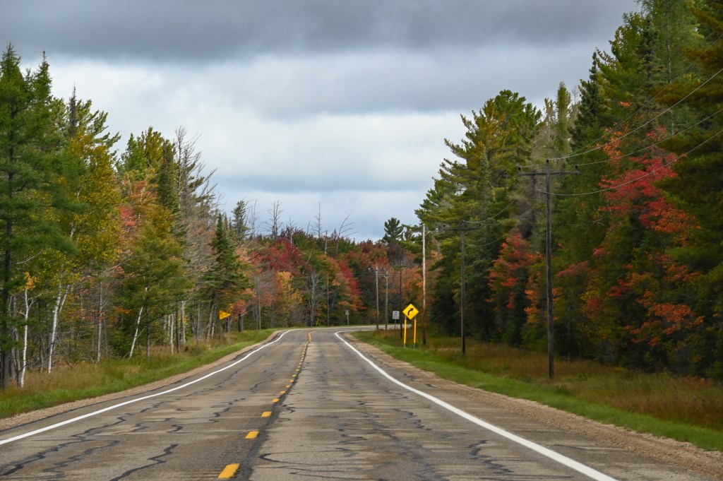
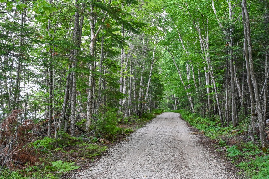
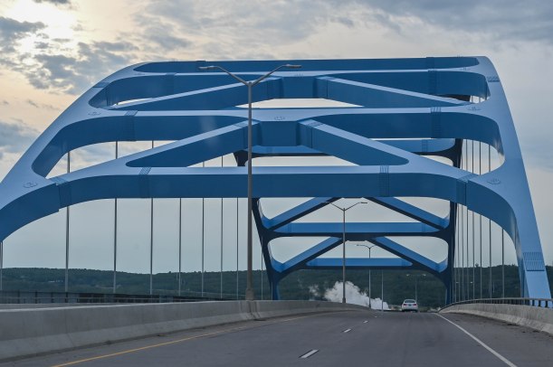
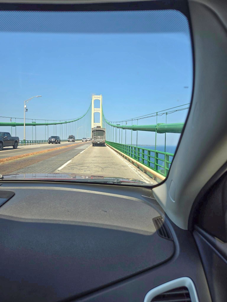
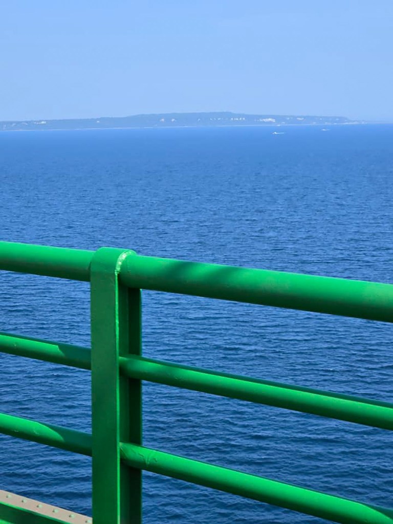
So that Monday at the end of August my sister and I packed the car and drove all the way up from southeastern Michigan, across the Mackinaw Bridge and into the interior of the eastern part of the Upper Peninsula.
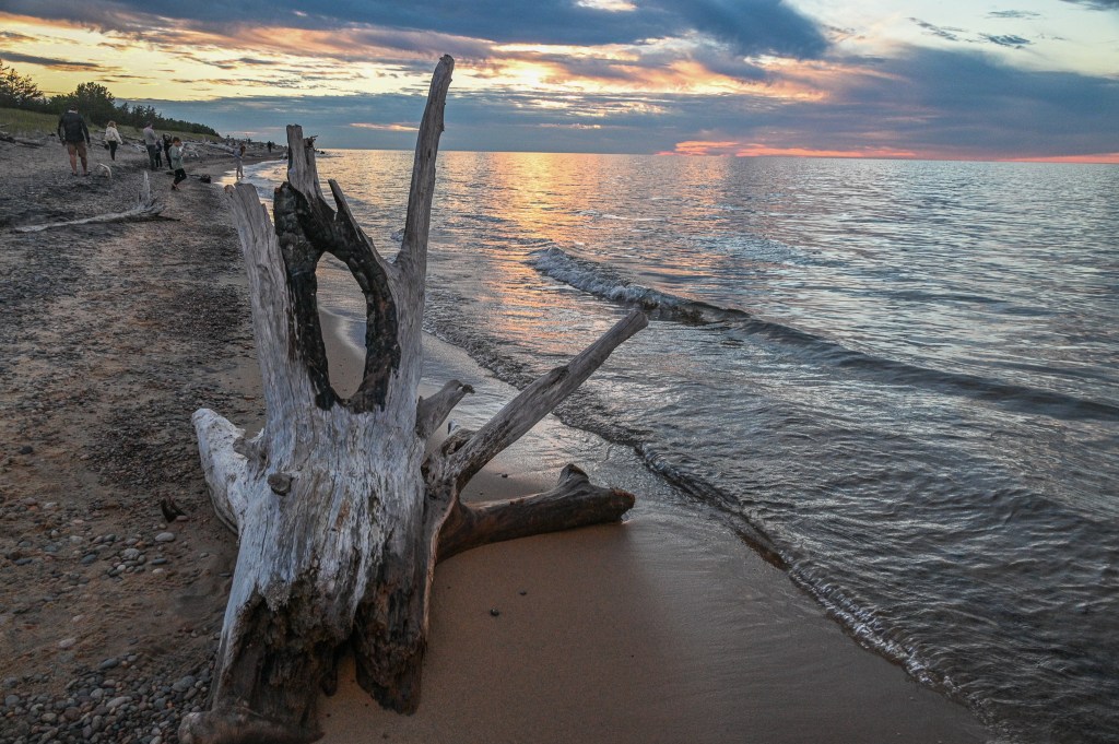
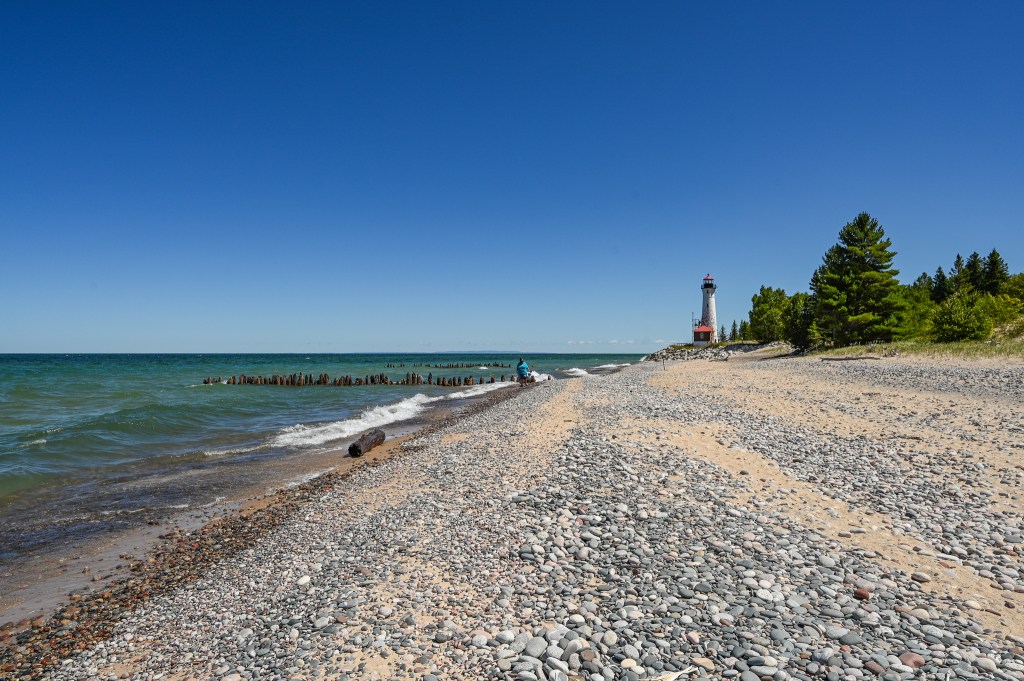
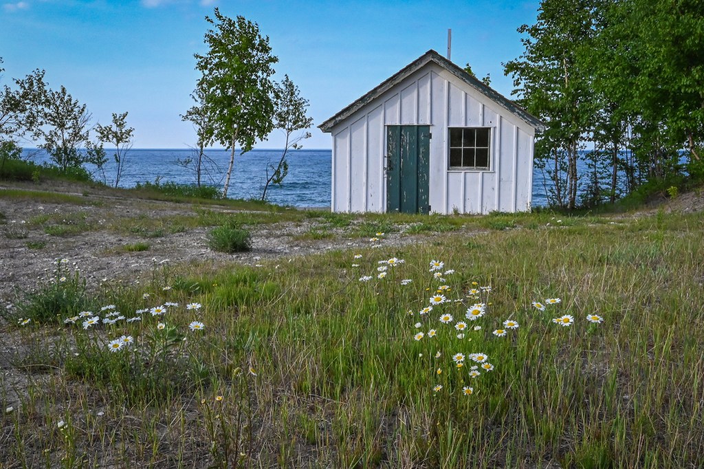
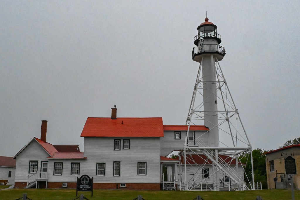
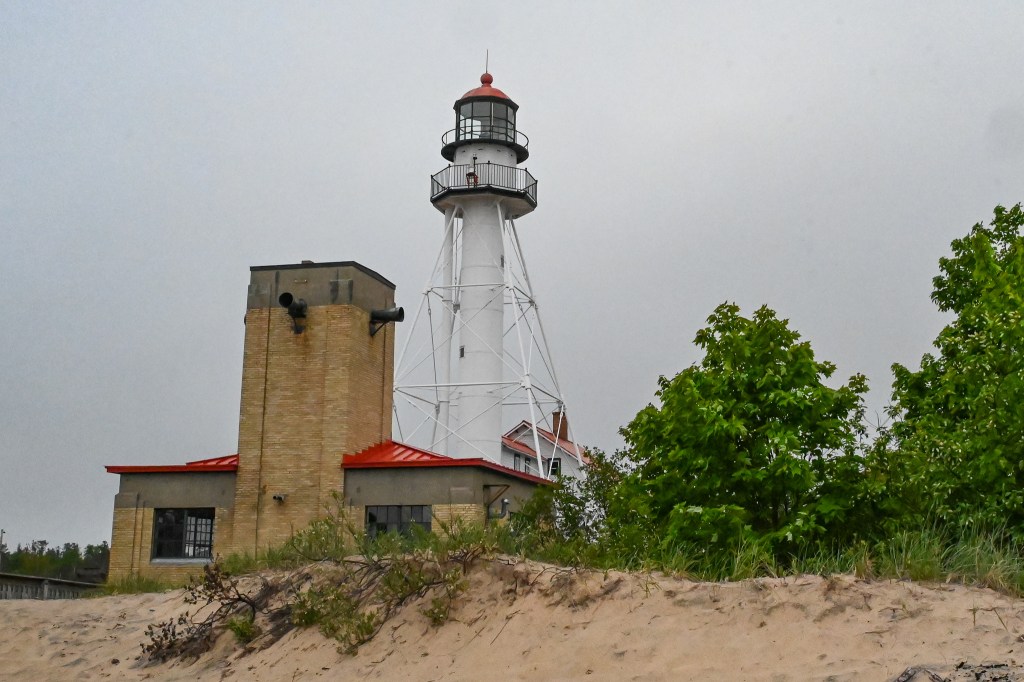
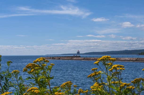
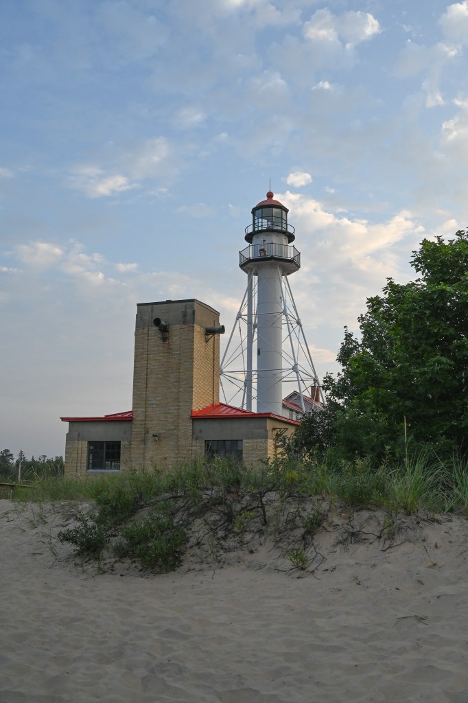
We set up camp and then decided we’d head up to Whitefish Point for the sunset. And, if we were lucky, a bit of Milky Way practice too.
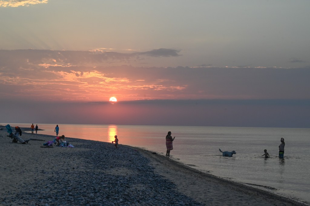
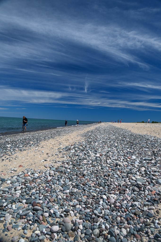
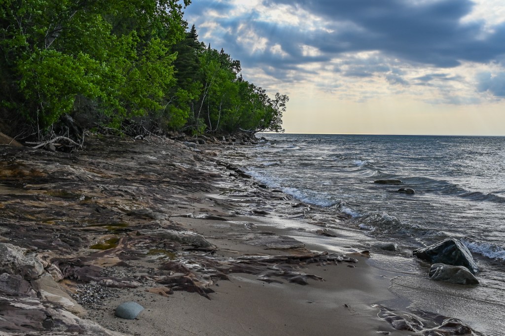
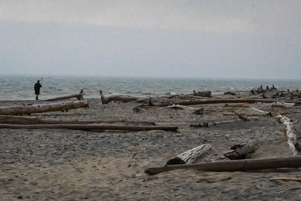
The Milky Way core rises early in the night at this time of year, so all we had to do was wait for it to get dark. The minutes ticked by slowly as the light faded and many families came in from the beach, packed their kids and stuff into their cars, and drove away.
But many other people were still out on the beach as the skies darkened, slow to leave Lake Superior and a day filled with sunshine, splashing in the lake, and looking for that special rock.
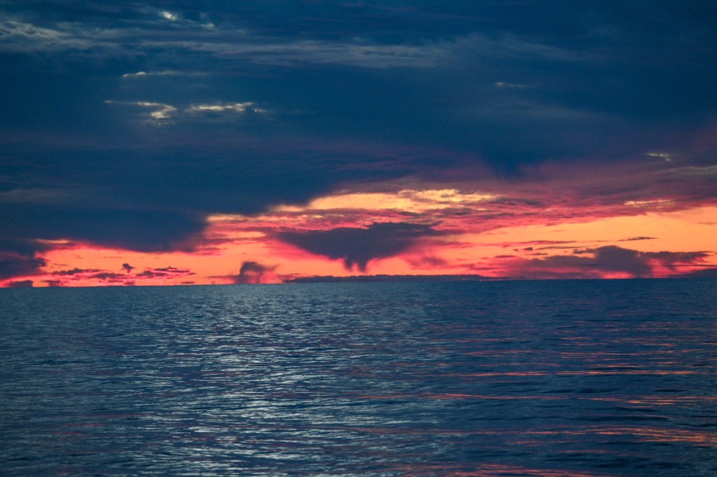
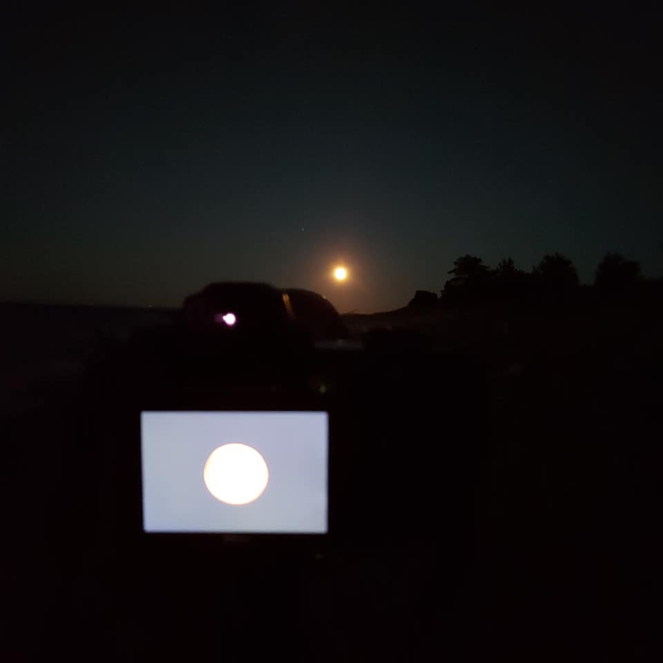
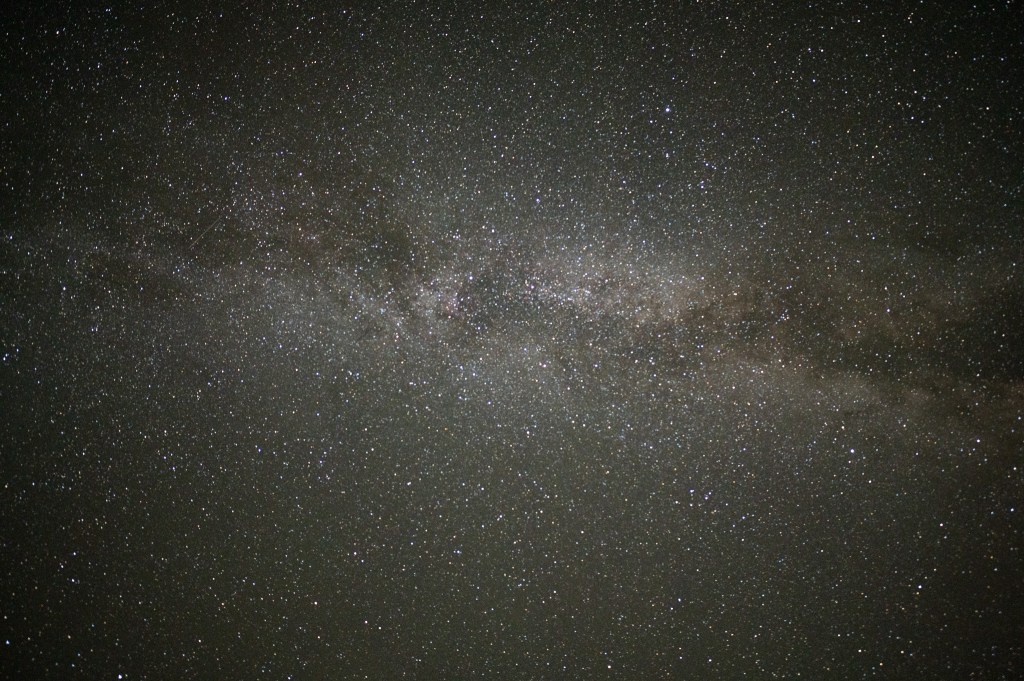
According to what I could find online the Milky Way would be visible around 10:15. By 9:45 we were getting tired of waiting and I climbed out of the car to do a test shot from the parking lot to see if it was there.
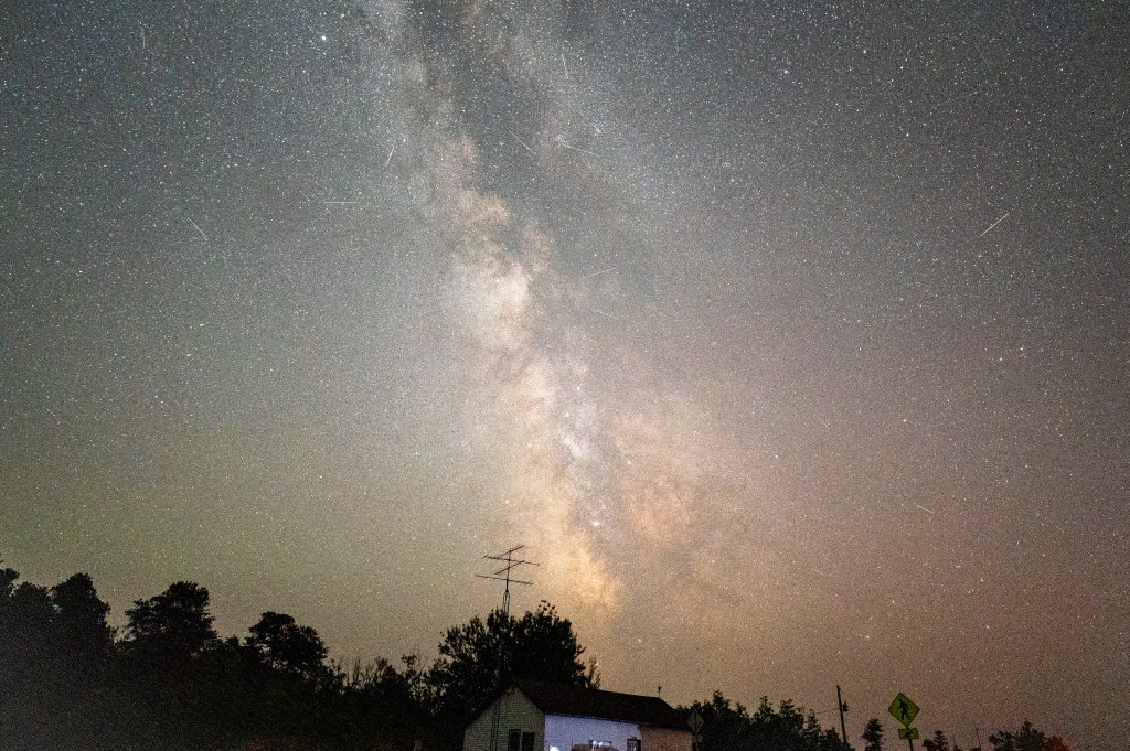
Unfocused and with no composition to speak of, the image is over exposed on purpose so I didn’t have to wait 25 seconds just to see what was up there. We were very excited to see that the Milky Way was indeed hanging over our heads.
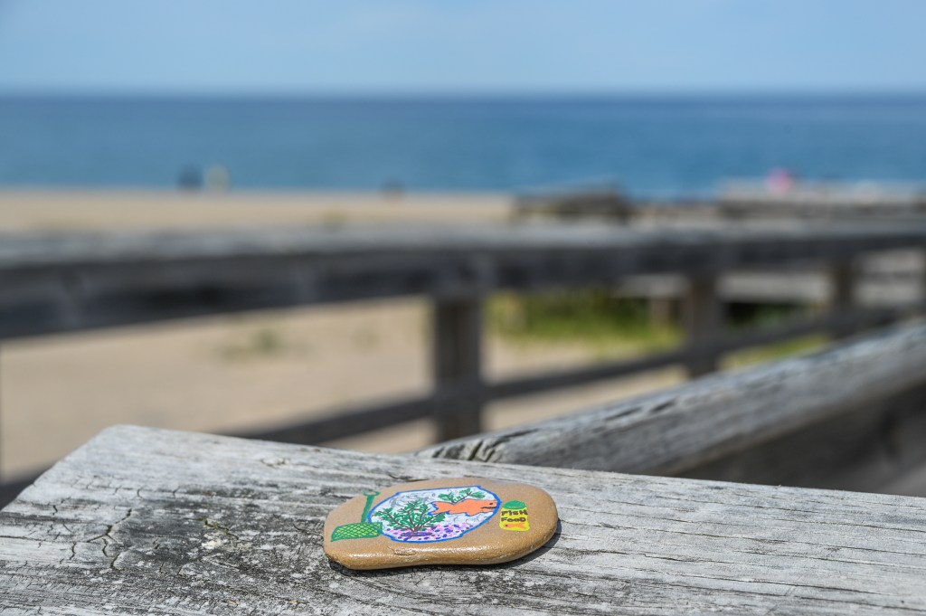
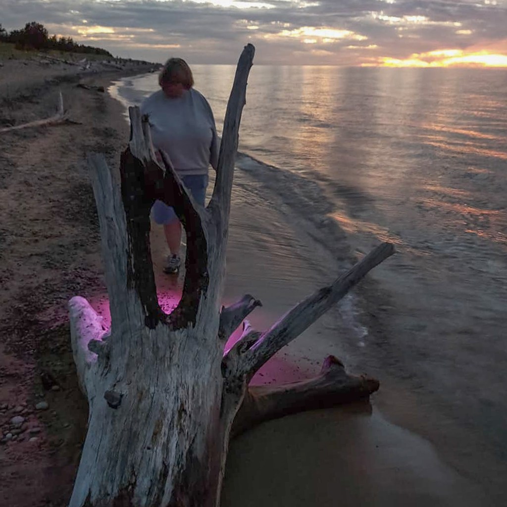
So off to the beach we went. We had planned to shoot from down near the water, but there were hundreds of biting flies down there. I felt more comfortable up on the boardwalk where the night breezes kept the flies at bay.
Besides, this wasn’t meant to be our real night photography session. We’d come up to Tahquamenon Falls State park to shoot the Milky Way over the falls. This was just a practice session, nothing really important.
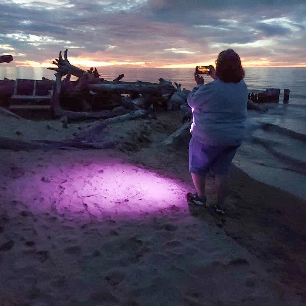
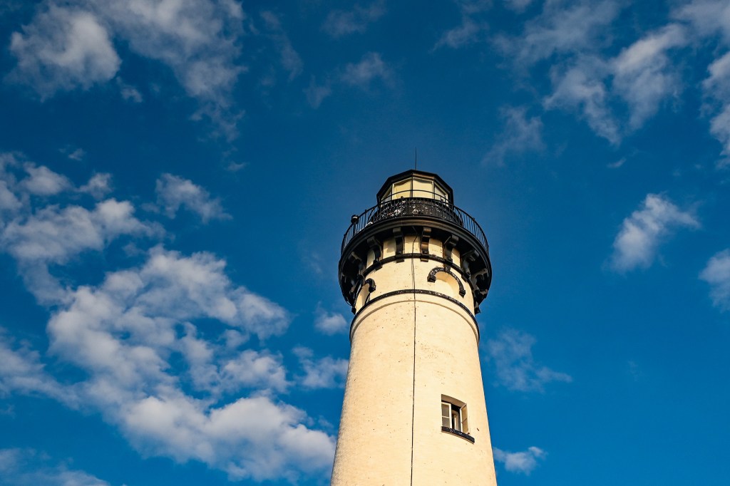
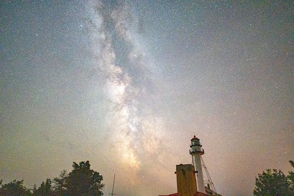
Once I established where the Milky Way was, and got the stars in focus, I settled in to get a serious shot. But there were still people walking up from the beach, flashlights shining on random things. Car taillights and headlights were shining on the lighthouse when you least expected it.
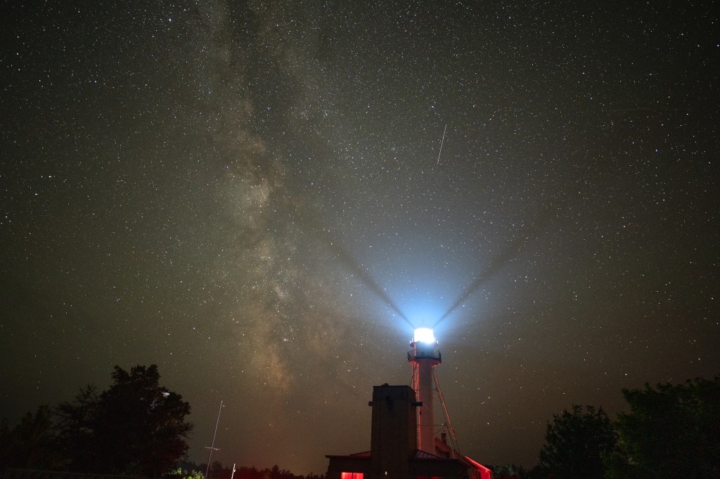
Not to mention the actual light from the lighthouse which every 14 seconds would blast two times. My sister counted the seconds for me as I tried to avoid the light. Though to be honest the beacon light looked kind of cool on the back of the camera and I didn’t mind it so much at all.
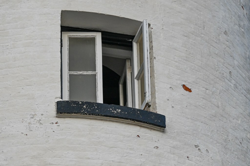
But then there was that red light near the bottom of the frame. I couldn’t tell what it was, while looking through the lens, but the camera was definitely picking something up. It was annoying, and meant that I really needed to limit myself to the top portion of the lighthouse.
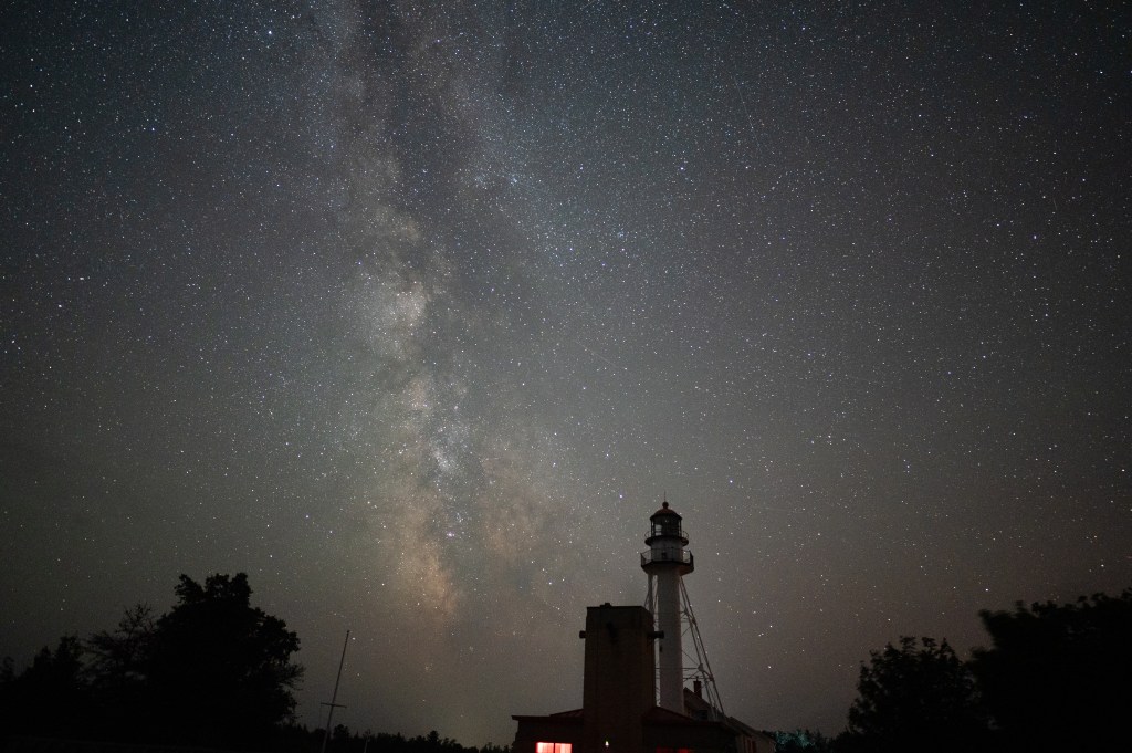
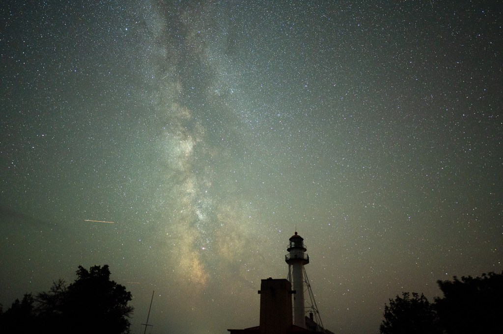
And as I focused on the sky above the lighthouse there were, of course, planes to contend with. You can take a series of images, all in a row, and then ‘stack’ them in a software program and the parts of the images that aren’t the same will be removed. So I took 7 or 8 images, and if I wanted to I could stack them and all the planes and satellites would be eliminated.
Or…you could just say, that’s cool, look at all the stuff up there in the sky!
I didn’t take a lot of images that night. I probably should have gone down to the beach and worked on my original composition plan. It was a warm, beautiful night. But we were both tired from a long day and this was just a practice shoot anyway.
Right?
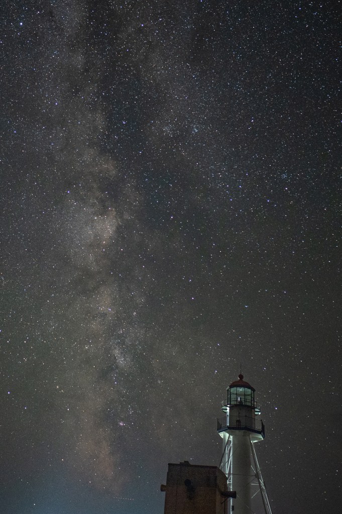
In the end I liked a couple of the images. And I’ll definitely go back on another clear, warm night. A night with a breeze to keep the flies away. Maybe a night earlier in the season when the Milky Way will be visible later in the night and fewer people will be around with their flashlights and headlights.
And of course I still had the Milky Way shoot above Tahquamenon Falls to look forward to. This was just a practice session, remembering how to focus and camera settings and stuff. But you’ll have to wait to see how that one turned out. I haven’t processed those images yet.
Heck, just retelling the story of our very long first day in the UP has exhausted me! But I hope you enjoyed your short trip to Whitefish Point on a warm August night!